Nasa is currently developing a laser-based probe for the International Space Station that will study Earth's forests in 3D. The idea behind the 3D mapping is to fill in the missing information about the role the forests play in the carbon cycle.
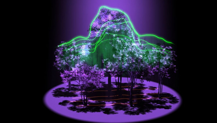
The instrument, called the Global Ecosystem Dynamics Investigation (GEDI) lidar, will be the first to systematically probe our forests from space and is scheduled to be completed in 2018. It will use remote sensing technology to measure distance by illuminating the target and analysing the light that reflects back off it.
"Lidar has the unique ability to peer into the tree canopy to precisely measure the height and internal structure of the forest at the fine scale required to accurately estimate their carbon content," said Bryan Blair, who will be working on GEDI at Nasa's Goddard Flight Centre.
-wired.co.uk/
Nasa laser probe will map Earth's forests in 3D


COMMENT